
Florida ZIP Coverage Changes by Source
Florida does not have one official static web table listing every active delivery code and its neighborhood. The state's postal footprint includes cities, towns, rural routes, unincorporated places, post-office boxes and large institutions. A delivery code may cross a county or municipal line, and its mailing city is not always the incorporated city where a parcel sits.
| ZIP or Layer | Areas Covered | Post Office or Source | Notes and Verification |
|---|---|---|---|
| All active Florida delivery ZIPs | Florida cities, towns, unincorporated postal communities and rural routes | USPS delivery assignments | No complete active-code table appeared in the inspected official pages; verify an address with USPS. |
| Florida 2020 ZCTAs | Census polygons intersecting Florida, built from 2020 Census blocks | U.S. Census Bureau | Statistical approximation, not a delivery boundary. |
| Unique, PO-box-only and institution ZIPs | Post offices, stations, military or large institutions, and box facilities | USPS assigns routes | Do not assume the code describes a residential neighborhood. |
| Postal city beyond a city line | Unincorporated pockets and suburban postal areas | Mailing city in USPS result | Compare the parcel with the county municipal-boundary layer. |
| Shared metro or county-border ZIP | Addresses in more than one local jurisdiction | USPS plus county parcel map | Use county and jurisdiction fields for local records. |
This table describes the coverage layers that can be verified, not a substitute list of active codes. The inspected USPS pages did not expose an exhaustive statewide HTML list. A hand-written list would lack a date and could go stale as assignments change. Check a known street address in the postal tool, then use a dated Census file only when statistical map coverage is the goal.
Verify a Florida ZIP Address With USPS
For a delivery question, enter the full street address in the USPS address lookup. The official tool returns the ZIP and postal city/state tied to the address. The live form's exact field labels were not exposed in the inspected capture, so use its current on-screen prompt rather than relying on a guessed field order. A street name alone may match more than one town or route.
For this address check, compare the returned postal city with the local government whose parcel, permit or court record you need. If a bill or old note has a postal code but no street number, find another address detail before treating the match as exact.
Open the USPS address and ZIP lookup for the delivery check that underlies this step.
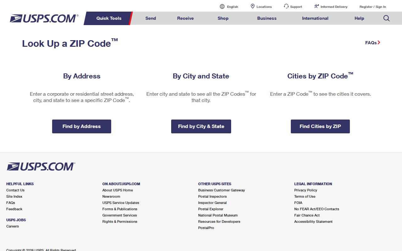
The postal result helps normalize a mailing address, but it does not tell you which county office holds a parcel or court record.
Florida PointMatch Address Search Fields
For tax and jurisdiction context, Florida DOR's PointMatch Address Lookup separates a street address into parts. Its guidance says to remove the city or ZIP to broaden a match when the local label is uncertain. It can also filter by county, jurisdiction and special fire district, which helps explain why a postal place name does not settle a tax boundary.
| PointMatch field | Search detail |
|---|---|
| House number | Street number portion of the address. |
| Pre-direction | North, South, East or West when present. |
| Street name | Name without the street type. |
| Street type | Type such as Avenue, Boulevard or Street. |
| Post-direction | Directional suffix when present. |
| City and ZIP | Optional address components; removing one can broaden a match. |
| County | County filter for local routing. |
| Jurisdiction | Local tax or government jurisdiction filter. |
| Special fire district | Special district filter when relevant. |
PointMatch is an address and tax-jurisdiction tool, not a statewide household roster. Its full-street search can return a street-wide set of tax-jurisdiction matches. Florida DOR also publishes county tax-roll and parcel data, including NAL name-address-legal files, but confidential records are omitted and prior-year files may require a request. For current owner and parcel details, route to the county Property Appraiser using Florida DOR's county officials directory.
ZIP Filters in Florida Public Records
A ZIP filter means different things in different systems. County Property Appraiser portals sometimes offer city or ZIP fields, but the form and history vary. A result is a parcel on that county's current roll, not a list of every person who gets mail there. GIS viewers may show parcels and local districts; there is no one uniform Florida map form.
Use this order when a Florida ZIP is the starting point:
- Verify the full mailing address with USPS, including the postal city and state.
- Use PointMatch to check county, jurisdiction and special fire district; broaden the search if the city or ZIP label misses.
- Open that county's Property Appraiser or GIS page and use ZIP only if its current form offers it.
- Choose a record-specific lookup for a person or entity, and confirm what its ZIP field represents.
The individual Florida voter lookup has no ZIP field. A lawful requester may use ZIP in the full voter extract, which is a separate monthly disk request from the Division of Elections. Sunbiz has a ZIP tab for entity records, not household addresses. FDLE's offender registry supports city, county, ZIP and address-radius searches, but it covers the statutory registry, not all residents. Once a postal area narrows to a street, the Florida street directory covers the address-level records route.
For the single-person status check, use the Florida Voter Information Lookup, which asks for first name, last name, birth date and an acknowledgment. ZIP-wide voter information comes from a different route: the Division of Elections extract request. It covers active and inactive records from all counties. The request is due at least a day before the scheduled monthly release, and the disk is mailed or picked up, not sent as an online file or email attachment.
A business record can also use ZIP without being a resident record. The Sunbiz ZIP search returns entity details, such as an officer or registered-agent connection. The FDLE registry supports ZIP and address-radius fields for that registry's listings. Neither tool is a broad roster of Florida households, and each result needs the context of its own record type.
Florida ZCTA Files Map Statistical Areas
The Census Bureau's ZIP Code Tabulation Areas, or ZCTAs, are statistical approximations based on 2020 Census blocks. They make it possible to map and compare postal areas, but they are not USPS delivery ZIPs and do not assign mail. A ZCTA boundary should not be treated as a legal city line.
The Census 2026 Gazetteer download page provides a national file route; select Florida's state file for ZCTA geography. Keep the file year with any map or count. A ZCTA can help frame a population or neighborhood analysis, while USPS verifies whether a specific address receives a particular code.
Use the Census ZCTA and Gazetteer downloads when a dated statistical layer is needed.
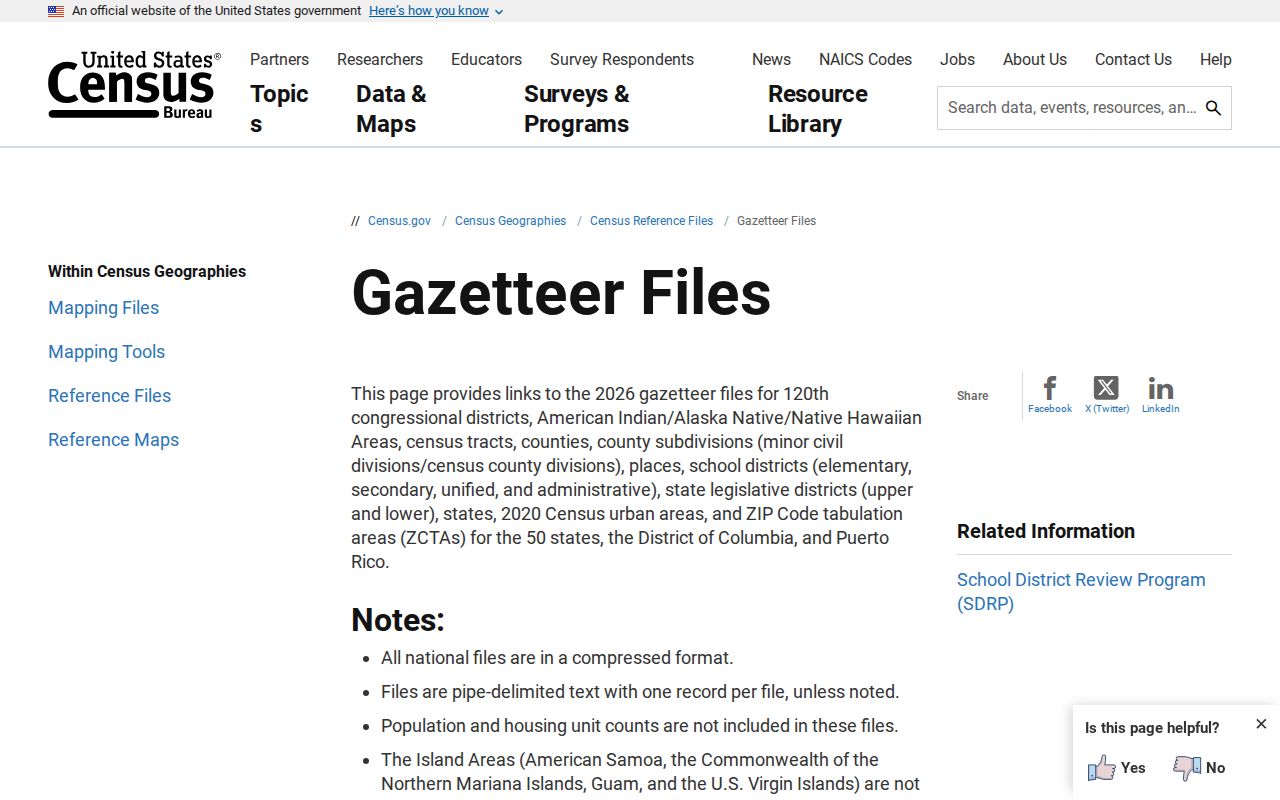
This map layer supports comparisons across Florida, while the USPS result remains the address-level delivery check.
Florida Postal Areas vs City and County Lines
ZIPs follow postal delivery needs, not legal borders. A Florida mailing address may use a nearby city's postal name while sitting in an unincorporated county pocket. A ZIP can also cross a city line, county line or municipal enclave. For permits, parcel taxes or local court cases, identify the jurisdiction from county parcel data instead of assuming the postal city controls the record.
PointMatch can compare an address with county, jurisdiction and special fire-district fields. County GIS layers may show municipal boundaries, but details vary by county. If an old deed, voter entry or business filing gives a mailing city that conflicts with the parcel, preserve both labels and ask the custodian which one its search uses.
Boundary check. Use USPS for the delivery code, the county parcel map for local jurisdiction, and Census ZCTAs only for statistical geography.
Florida ZIP, ZIP+4, PO Boxes, and Routes
Several postal terms can appear beside an address, but they do not describe the same kind of place. A statewide ZIP reference should identify whether a result is a delivery assignment, a map approximation, or a postal facility code before it is used to search a local roll.
- ZIP Code
- A USPS delivery-routing area used to sort and direct mail.
- ZIP+4
- The five-digit code plus four added digits for a more specific delivery segment; it is not a city or parcel boundary.
- PO-box-only ZIP
- A code tied to post-office-box service. Do not infer a set of nearby homes from it.
- Unique ZIP
- A code assigned to a single institution or large organization rather than a general residential area.
- Carrier route
- A USPS grouping for a carrier's delivery work within postal routing, not a municipal jurisdiction.
These labels help explain why a ZIP search can miss an address or return a nonresidential facility. Read the record's own fields and source date before using the result.
Keep Florida ZIP Lists Current
A complete active delivery-code list was not available in the inspected official pages. That is a real research limit, not a reason to guess at the rows. USPS assigns the delivery ZIP; use its lookup with an actual address. For statewide mapping, download a dated Florida ZCTA file from Census and label it as statistical geography.
A Florida ZIP code directory can guide a search, but no static table can say which office holds every resident record. Florida has 67 counties, and local assessor, GIS and Clerk systems differ. Keep the mailing address, parcel jurisdiction and record custodian as separate facts. If an online search does not fit the question, contact the relevant county office by its official route and ask which record set accepts the address or ZIP.
For later checks, save the address, postal city, county, parcel jurisdiction, source and date as separate fields. If two results seem to disagree, compare the same street address in USPS and PointMatch, then use the county map to check its municipal layer. Do not substitute the mailing city for the local jurisdiction. For mapping work, note the ZCTA file year because the Census layer answers a statistical question, while the USPS lookup answers a delivery question.